 The River Thames Guide
EXPLORE THE THAMES
Visiting Culham Lock and Sutton Pools
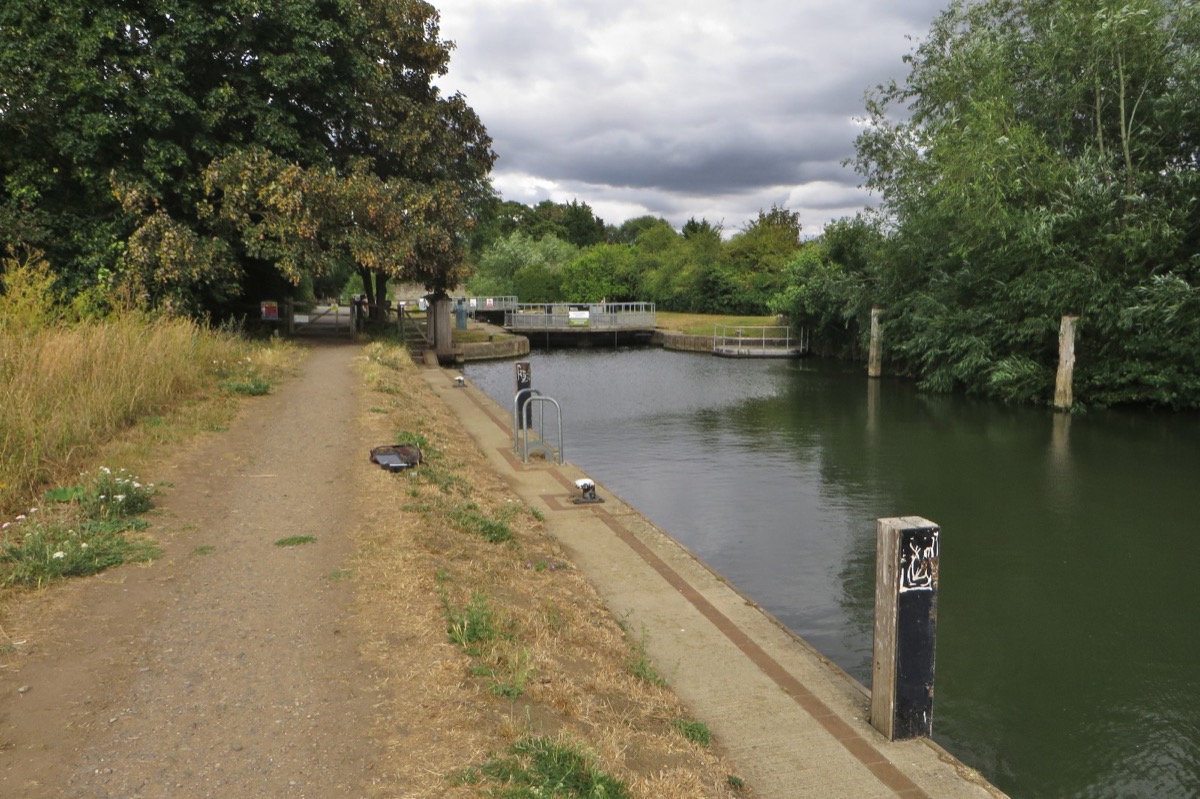
Culham Lock is on Culham Cut, near Culham and Sutton Courtenay. Its postcode is OX14 4NE. The Environment Agency’s site guide describes the approach from Tollgate Road, following the path west to the lock.
There is no car parking at the lock. The agency identifies a public car park in Culham village; check local signs and restrictions when you arrive.
Sutton Pools, on the old weir stream, feature in the original guide as a place enjoyed by canoeists, birdwatchers and walkers. Use the official Thames Path map to plan public walking routes. Backwaters and weirs have different access and flow conditions from the main navigation.
Planning a water stop
The EA facilities table lists a drinking-water tap for portable containers at Culham, although an earlier update records an outage. Confirm availability before relying on it for your journey.
EA facilities guide, checked 4 October 2026.
EXPLORE THE THAMES
Culham Cut and the history of the lock
A mill at nearby Sutton Courtenay appears in the eleventh-century Domesday record. The old flash lock and weir route later became notorious among boaters for shallows and high tolls.
The navigation improvements associated with 1809 created the deeper Culham Cut and a new pound lock. These works provided an alternative to the difficult older passage.
Why did Culham village shrink?
The old guide describes a medieval settlement larger than the present village, with the manor house and church reminders of its past. Suggested explanations include the Black Death, poor harvests after wet summers in the fourteenth century, and a move towards sheep farming that reduced the need for labour. These are possible explanations rather than a single established cause.
A different early plan
Thacker records a January 1806 proposal for a cut with two locks. By December 1808 the adopted scheme included a stone lock, preceding the opening in 1809.
Research source: F. S. Thacker, The Thames Highway: Culham. Checked 4 October 2026.
EXPLORE THE THAMES
How deep is Culham Lock?
The Environment Agency publishes a fall of 2.41 metres, approximately 7 ft 11 in. This is the change in water level through the lock, not the water depth available below a boat.
The original guide calls Culham the second deepest Thames lock, excluding Teddington. Its published fall is 0.28 metres less than Sandford’s 2.69 metres. Use the dimensions and current navigation advice below when planning a passage.
EXPLORE THE THAMES
Wildlife around Culham Lock
These wildlife details come from our earlier local account, not a current survey or a guarantee of sightings.
The original local account records roach, chub and carp in the river and red kites, buzzards and kingfishers around the lock and nearby channels.
For fishing, consult the official Culham lock and weir fishing guide for permitted areas, seasonal access and permit requirements.
ON THE WATER
Boating through Culham Lock
Abingdon Lock is 4.15 km (2.58 miles) upstream. The next lock downstream is Clifton Lock, 4.52 km (2.81 miles) away by river.
Published lock dimensions
- Length
- 39.87 m
- Width
- 5.33 m
- Fall
- 2.41 m
- Upper sill depth
- 2.41 m
- Lower sill depth
- 1.62 m
Source: Environment Agency distances and measurements. Published dimensions and sill depths do not guarantee navigable clearance. Check water levels, the full guidance and current restrictions.
Consult the lock keeper service and follow the instructions displayed at the lock.
Neighbouring reaches: cruising estimates
| Reach | km / miles | EA estimate |
|---|---|---|
| Abingdon → Culham | 4.15 / 2.58 | 32 minutes |
| Culham → Clifton | 4.52 / 2.81 | 34 minutes |
The Environment Agency estimates assume 8 km/h. Add waiting and lock-passage time; conditions can lengthen journeys. These are river distances, not walking distances.
Facilities at Culham Lock
- card and contactless payments
- toilet
- drinking water tap (for portable containers only)
Checked 4 October 2026 against the Environment Agency facilities guide. Availability can change; check the official guide and signs on site.
Upstream tree obstructions
Checked 4 October 2026: the Environment Agency lists a fallen tree restricting the upstream lock cut, with reduced width and submerged branches. It also lists a partly removed tree about 1,000 metres above the lock; navigation there is possible with caution. Check the latest positions and instructions before approaching.
BEFORE YOU SET OFF
River conditions at Culham Lock
Check stream warnings and navigation closures separately. A lack of stream warnings does not confirm that a lock is open.
For the latest information, check the official river conditions service below.
Questions about Culham Lock
Where is Culham Lock?
It is on Culham Cut near Culham and Sutton Courtenay, between Abingdon and Clifton locks. The postcode is OX14 4NE.
Can I park at Culham Lock?
The Environment Agency says there is no parking at the lock. Its site guide points visitors to the public car park in Culham village.
What is Culham Lock’s fall?
The published fall is 2.41 metres, about 7 ft 11 in. Fall means the difference in water level through the lock, not navigable depth.
About this guide
Published by The River Thames Guide. Research additions, measurements and facilities checked 4 October 2026. Sources are linked beside new material; earlier local accounts are retained where identified. Check changing access and navigation arrangements before travelling.
Contains public sector information licensed under the Open Government Licence v3.0. New research is written in original wording; no third-party archive images or maps have been copied. Existing photograph credits and licences are retained.


