 The River Thames Guide
EXPLORE THE THAMES
Visiting Sandford Lock
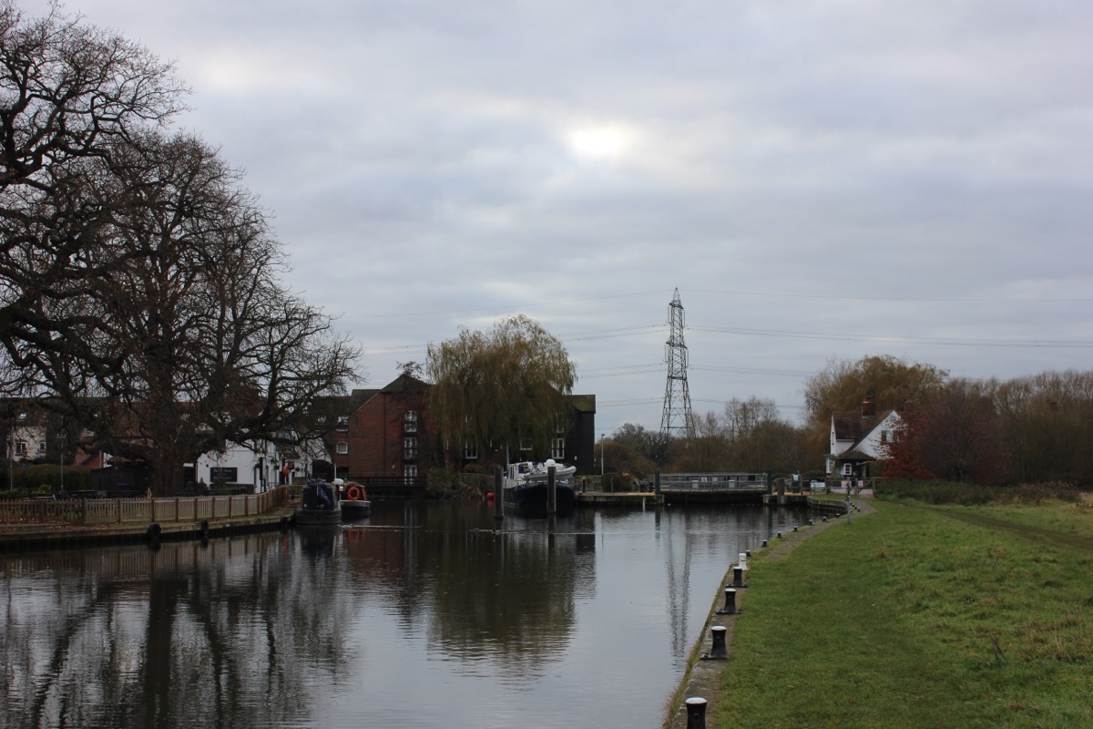
Sandford Lock is beside the King’s Arms in Sandford-on-Thames, on the outskirts of Oxford. Its postcode is OX4 4YD. Check current parking terms and public access before using a pub car park or driving to the lock.
Plan a riverside walk with the official Thames Path map. Routes towards Iffley and Abingdon provide ways to explore the neighbouring reaches, with return journeys and crossings planned in advance.
Sandford is known for its substantial change in water level. The Environment Agency publishes a fall of 2.69 metres. The earlier guide used 2.68 metres (8 ft 10 in) and compared it with Teddington; use the current measurements table below when planning a boat trip.
Charging before the next reach
The Environment Agency lists an electric charging point at Sandford. Check the charging and mooring arrangements before relying on a stop here; a listed facility does not guarantee an available berth.
EA facilities guide, checked 4 October 2026.
EXPLORE THE THAMES
World Poohsticks Championships at Sandford
The 2026 World Poohsticks Championships were advertised for 24 May 2026 at Sandford Lock. The event began at Day’s Lock and is now organised by Abingdon Rotary.
For future dates and arrangements, use the organiser’s website. Its venue guide explains the approach from Kennington and Sandford-on-Thames.
EXPLORE THE THAMES
Sandford Lasher and the memorial obelisk
The pool below the weir, known as Sandford Lasher, appears in Jerome K. Jerome’s Three Men in a Boat. His stark description of the pool as a place to drown reflects its long association with dangerous currents.
The stone obelisk between the weirs commemorates lives lost here. Our original account records a bathing accident involving two men in 1845.
In 1921, two students drowned at the lasher. One was Michael Llewelyn Davies, a ward of J. M. Barrie, author of Peter Pan. Their names were added to the memorial. The story is part of the site’s history, and the weir pool should not be treated as a swimming place.
EXPLORE THE THAMES
Sandford Lock and the old mills
Sandford was among the early Thames pound locks, alongside Iffley and Swift Ditch near Abingdon. Our original guide dates its first lock to 1630, in the early seventeenth-century period of navigation improvements.
Many repairs and rebuilds followed. The guide describes the present lock as a 1972–73 rebuild incorporating earlier structure, and notes three large pieces of granite on the lockside as reminders of the older lock.
From flour to paper
Two local traditions explain the early mill: one associates it with monks making bread around 1170; another with the Knights Templar in the 1200s. These are retained as alternative accounts.
The mill became a paper mill in 1826 and closed in the 1970s. The former industrial site subsequently became private flats, changing the character of the lock’s surroundings.
For the broader chronology, Historic England’s navigation history groups Iffley, Sandford and Swift Ditch among the early 1630s pound locks. Exact dates in older local accounts vary.
Mill power and pleasure boats
In May 1868, Sandford’s millers complained about frequent gate openings for pleasure craft, according to Thacker. The episode shows how recreational boating and the mill’s need for water could compete.
Research source: F. S. Thacker, The Thames Highway: Sandford. Checked 4 October 2026.
EXPLORE THE THAMES
Wildlife around Sandford Lock
These wildlife details come from our earlier local account, not a current survey or a guarantee of sightings.
Our local account records kingfishers, buzzards, red kites and moorhens, along with greylag and Egyptian geese.
Watch from public paths and leave room for people using the lock. The birds seen will vary with the season and river conditions.
ON THE WATER
Boating through Sandford Lock
Iffley Lock is 2.70 km (1.68 miles) upstream. The next lock downstream is Abingdon Lock, 7.38 km (4.58 miles) away by river.
Published lock dimensions
- Length
- 53.03 m
- Width
- 6.62 m
- Fall
- 2.69 m
- Upper sill depth
- 2.31 m
- Lower sill depth
- 2.31 m
Source: Environment Agency distances and measurements. Published dimensions and sill depths do not guarantee navigable clearance. Check water levels, the full guidance and current restrictions.
Consult the lock keeper service and follow the instructions displayed at the lock.
Neighbouring reaches: cruising estimates
| Reach | km / miles | EA estimate |
|---|---|---|
| Iffley → Sandford | 2.70 / 1.68 | 21 minutes |
| Sandford → Abingdon | 7.38 / 4.58 | 56 minutes |
The Environment Agency estimates assume 8 km/h. Add waiting and lock-passage time; conditions can lengthen journeys. These are river distances, not walking distances.
Facilities at Sandford Lock
- card and contactless payments
- electric charging point
Checked 4 October 2026 against the Environment Agency facilities guide. Availability can change; check the official guide and signs on site.
BEFORE YOU SET OFF
River conditions at Sandford Lock
Check stream warnings and navigation closures separately. A lack of stream warnings does not confirm that a lock is open.
For the latest information, check the official river conditions service below.
Questions about Sandford Lock
Where is Sandford Lock?
It is at Sandford-on-Thames, south of Oxford, between Iffley and Abingdon locks. The lock postcode is OX4 4YD.
What is Sandford Lasher?
It is the weir pool beside the lock, known for its dangerous currents and the memorial to people who drowned there.
What is the published fall at Sandford Lock?
The Environment Agency gives 2.69 metres. This is the difference in water level through the lock, not the depth available for a boat.
About this guide
Published by The River Thames Guide. Research additions, measurements and facilities checked 4 October 2026. Sources are linked beside new material; earlier local accounts are retained where identified. Check changing access and navigation arrangements before travelling.
Contains public sector information licensed under the Open Government Licence v3.0. New research is written in original wording; no third-party archive images or maps have been copied. Existing photograph credits and licences are retained.


