The River Thames Guide
Windsor to Maidenhead
A Thames Path walk between Windsor and Maidenhead
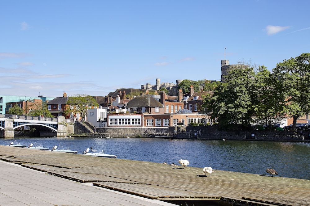
This walk follows the Thames Path from Windsor Bridge to Maidenhead Road Bridge: about 10.8 km (6.7 miles) on the mapped historic trail alignment. Station approaches and attraction detours are additional. Windsor has two railway stations; use the planning information above to choose your arrival. When you arrive there you can enjoy some light refreshments nearby. After leaving the cafe, walk down to the River Thames by the pedestrians-only bridge with three arches which crosses over the Thames to Eton. Walk across the bridge and to your left you will see the steps that lead down to the Thames Path.
Once on the Thames Path follow the signed Thames Path upstream on the Eton side towards Maidenhead. The Thames Path is well signposted and has the familiar Acorn logo on each of the signposts. If you look across the River Thames you can see a magnificent view of the huge bulk of Windsor Castle towering above the river. Windsor Castle remains a working royal palace. A visit inside the castle is a separate activity: check the Royal Collection Trust’s current opening and admission information before planning it into your day.
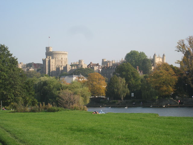
Your path takes you through a gate to The Brocas, a large meadow and on under firstly a railway bridge and then a very large and noisy road bridge which takes the heavy traffic past Windsor town. Beyond here the path now follows a bank and a river loop with South Field on your right, until you eventually reach Boveney Lock. You can see on the other side of the Thames a large open grassy area which is Windsor Racecourse.
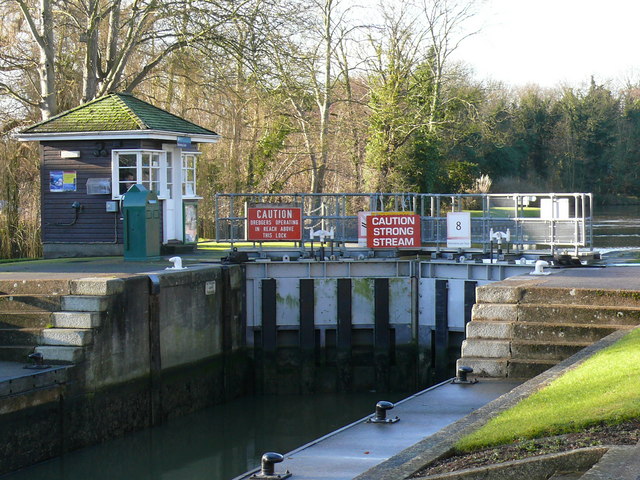
You continue upstream on the Thames Path and then pass the medieval church of St Mary Magdalene at Boveney, beside the old wharf site. The church is cared for by the Friends of Friendless Churches; contact them for access details if you hope to look inside.
After leaving the chapel you pass some college boathouses the famous public school Eton College has a boathouse here.
On the opposite side of the river you now can see a building known as Oakley Court which is in the Victorian Gothic style and looks as though it could be Dracula's castle. It is used as a luxury Hotel. You also pass on your right the magnificent Eton Dorney rowing lake, which was the setting for some of the wonderful rowing and sculling races in the Olympics and Paralympics. On the opposite side of the Thames you can see some famous film studios - these are the Bray Studios.
Monkey Island is another landmark on this stretch. The estate’s own history describes the origin of its name as debated, with “Monks Eyot” offered as one possible explanation. Soon, you cannot miss the New Thames Bridge (which carries the M4 over the Thames), and once you leave behind the noise and bustle generated by this bridge you will next see opposite Bray village.
Across the river, Bray is associated with the legend of the Vicar of Bray, a cleric said to have kept his post through the religious upheavals of the Reformation. This is local tradition, rather than a confirmed biography of one named Tudor vicar.
Your footpath continues through Dorney Reach. Dorney Court is in Dorney village, away from the immediate riverside path; allow separately for a detour. Dorney Court is a separate visit from the riverside walk. Its public openings are limited, with other visits arranged by appointment; check the house’s official dates before making a detour. You next come across Bray Lock. This is a pretty site at any time, when boats of all shapes and sizes line up to pass through the lock. Beyond the lock the path hugs the river and passes Barge Farm on the right. You will now be walking on a road alongside the river until you see before you the magnificent red brick built bridge that carries the railway over the Thames en route to Bristol and the West. Maidenhead Railway Bridge, known for its Sounding Arch, was designed by Isambard Kingdom Brunel. Its two principal river arches each span about 39 metres—an extraordinary achievement in brick when the bridge opened in 1839.
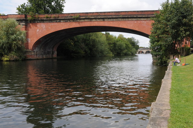
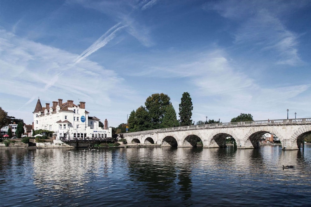
You continue your walk along Riverside Road, past some boathouses, until you see before you the end of your walk, which is the pretty 13 arch stone Maidenhead Road Bridge, built in 1777 by Sir Robert Taylor. The official Thames footpath actually crosses over the River Thames at this point using the bridge, so just follow the steps up to the roadway over the Thames and you will be in the town of Maidenhead. You can get refreshments here. Plan the onward journey from the riverside finish to Maidenhead railway station separately, using National Rail’s station and onward-travel information.
I hope you have enjoyed reading about this walk through some lovely countryside, yet so easily accessible to people from the large towns and cities nearby, and I also hope that it will encourage you to try the walk for yourselves. Towpath surfaces and access can change with flooding and maintenance. Follow current signs and plan for conditions; this guide does not certify a step-free route. Enjoy!
Visitor planning and selected archive facts updated in November 2026. The original walk was devised by Jeannette Briggs. This is not a new on-foot route survey.
Sources for selected archive corrections
You can donate to Diabetes UK
Walk devised by Jeannette Briggs
of The River Thames Guide
The River Thames Guide Ltd. 1999-2014